System Requirements:
PC-based attendees
NAPSG's Webex platform
For more information on system requirement
Click Here
Instructors:
Milton Ospina, HERE
Milton has been actively involved in the GIS industry since 1988. He spent 15 years working at Esri as a software intructor and Industry Marketing Manager. Mr. Ospina joined HERE, a Nokia Business, in 2008 as Business Development Manager. In 2004 he co-authored Measuring Up: The Business Case for GIS book (Esri Press) and in 2007 he co-authored Mapping for Congress: Supporting Public Policy with GIS: Library of Congress, Congressional Cartography Program (Esri Press.)
Mr. Ospina is a frequent US and international speaker on the use of GIS for urban planning, community development, and the critical role high-quality GIS map databases play in the development of Enterprise GIS Systems.
Peter O'Rourke, NAPSG Executive Director
Questions?
Peter O'RourkeNational Alliance for Public Safety GIS Foundation
202-895-1711
porourke@publicsafetygis.org
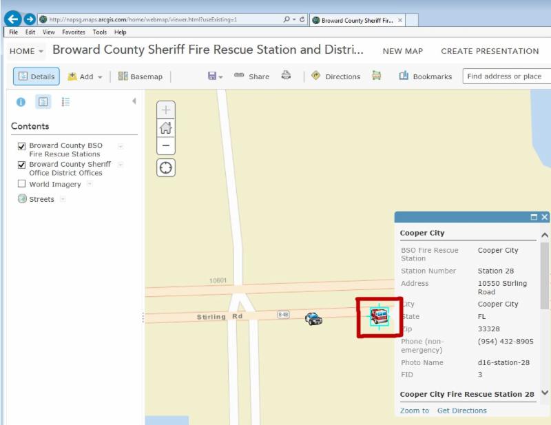
The National Alliance for Public Safety GIS Foundation and HERE are co-hosting a virtual training to provide the public safety and GIS community with training on how to use ArcGIS Online and HERE data for the geocoding process in a public safety scenario. This virtual training is a great opportunity for individuals that are new to the technical aspects of GIS for public safety and are seeking to develop foundational skills.
- Learn how to complete the geocoding process – a GIS operation for converting street addresses into spatial data that can be displayed as features on a map, usually by referencing address information from a street segment data layer.
- Learn how to convert street addresses into spatial data in a public safety scenario
- Learn how to display converted street addresses as features on a map
- Learn how to use HERE map content and point addressing to build the geocoding locators used in both ArcGIS Online and Street Map Premium
Who Should Attend?
- GIS Analysts, Specialists, and Managers
- Information Technology professionals that support public safety
- Public Safety professionals interested in gaining basic GIS skills – Emergency Managers, Fire Service, Law Enforcement, Search & Rescue, Mass Care, Public Health, and others


