 National Geospatial Preparedness Summit
UPDATE - Registration is Now Closed
Click Here to Access the Post-Event Materials


With Leadership From Local, State, & Federal Partners


![]()
Thank you to our Event Sponsors
Platinum Sponsors


Gold Sponsors

![]()

When
Tuesday August 4, 2015 at 9:00 AM EDT-to-
Wednesday August 5, 2015 at 5:00 PM EDT
Add to Calendar
Where
U.S. Department of Homeland Security
Acquisition Institute
90 K Street NE
Washington, DC 20002
Driving Directions 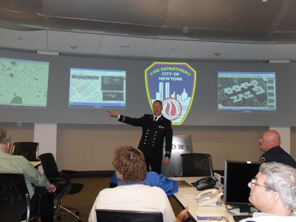
The Nation's inaugural preparedness Summit, dedicated to advancing the use of location-enabled decision support technology & data.
Registration is CLOSED.
When - August 4 & 5, 2015
Where - Washington, DC
US Department of Homeland Security, Acquisition Institute, 90 K Street, NE, Washington, DC 20002
Cost - Free
-
Training and workshop materials will be provided at no cost
-
Breakfast and lunch will be provided at no cost
-
NAPSG annual, hosted award reception open to all participants
What is it about?
The National Geospatial Preparedness Summit will bring together public safety practitioners and GIS responders from across the Nation - to forge collaboration, solve information sharing challenges, and discuss ways to better apply location-enabled decision support tools in planning and operations. During the two days you will have the opportunity to participate in:
-
Multiple Tracks of Training for both public safety operations & management personnel, as well as for GIS responders- Free Hands-On Training!
- Tabletop Exercise that puts to test existing geospatial tools, data, and model best practices - Inform your Agency's Operations!
- Education & Technology Demonstrations highlighting best practices & lessons learned from real world events - User Best Practices!
For more information check out the Agenda!
Who should attend?
- Public Safety Officials & Emergency Responders** - Management level & Operational public safety from all disciplines (fire, law enforcement, emergency management, health, 911-dispatch, search and rescue, fusion centers).
- GIS Responders & IT Practitioners – State GIS Coordinators/GIOs, GIS Technicians, Specialists, GIS Managers, Technology Coordinators, Local CTOs, IT Specialists, Interoperability Coordinators.
- Federal Agencies - FEMA, Depts. of Homeland Security, Justice, Defense, Energy, Transportation, National Guard, NOAA, DOI, etc.
- Volunteers that Support Public Safety – American Red Cross, Crisis Mappers, etc.
- Private Sector - Representatives & managers of companies that provide services to public safety, GIS & technology solution providers, institutions of higher education, and infrastructure owners/operators.
Why Participate?
- Join leading local, state, and Federal public safety agencies that charting new ground for how GIS can be applied to enhance preparedness.
- It's the only free public safety GIS Summit developed by and for the public safety community.
- New to GIS? Develop an understanding and gain skills to help bring GIS into your Agency's operations.
- Experienced with GIS? Solve real problems and build relationships necessary to take your Agency's GIS to the next level.
- Manager or Commander? Learn how and why to use GIS as a decision support tool.
- Attend the exclusive Reception for NAPSG's Awards for Excellence in Public Safety GIS!
**NAPSG is offering a limited number of travel scholarships to local, state, and tribal public safety and GIS practitioners, evaluated based on need and first-come basis. If you would like to see if you are eligible and apply for a scholarship, please Click HERE.
Questions? Contact the Organizers
For information on event logistics, sponsorship, and agenda information contact:
Melissa Lanclos
National Alliance for Public Safety GIS Foundation
Email - mlanclos@publicsafetygis.org
Tel. 202-895-1711
For all other questions contact:
Rebecca Harned
National Alliance for Public Safety GIS Foundation
rharned@publicsafetygis.org
202-895-1711

